قله آق تپه مرودشت
مرودشت شهر سیدان ، فارس
نیمرخ ارتفاع
کمترین ۱٬۷۲۰ متر بیشترین ۲٬۶۴۷ متر مجموع فرود ۹۷۹ متر
گزارش برنامه
قله اق تپه مرودشت
واقع در دشت سیوند محل پارک و شروع استارت کارخانه ا اب مدنی پارس جنب بزرگراه شیراز اصفهان
فاصله از شیراز ۷۰ کیلومتر
فاصله محل پارکینگ تا قله ۵/۷کیلومتر
همین مقدار برگشت
زمان صعود تا قله ۳/۵
زمان برگشت ۲/۵
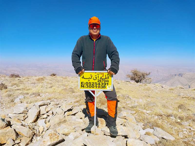
ارتفاع ۲۶۷۰ متر
از پارکینگ تا قله ۱۰۰۰ متر ارتفاع در ۵ کیلومتر
کاملا شیب تند ولی مشکلی نبود
کوه همجوار وغرب شهر سیدان وسیوند
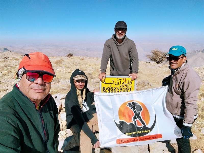
در یک هوای بسیار عالی درفصل پاییز کوهنوردی با اعضا گروه امید به فردا انجام شد
صبح ساعت ۶ از شیراز حدکت کردیم دربین را شهر زرقان صبحانه وساعت ۷/۵درپارکینگ محل استارت بودیم
کوهنوردی از جنب یک ویلا در محل انجام شد
The peak of Marvdasht hill
Located in the Sivand plain, the place of the park and the start of the Pars Madani water plant, next to the Shiraz Isfahan highway
Distance from Shiraz is 70 km
The distance from the parking lot to the peak is 7.5 kilometers
The same amount returned
Climbing time to the top 3.5
Return time 2.5
Height 2670 meters
From the parking lot to the peak of 1000 meters in 5 kilometers
Quite a steep slope, but it was not a problem
The mountain next to and west of the city of Sidan and Vasivand
In a very good weather in the fall season, climbing was done with the members of Omid Be Farda group
We left Shiraz at 6 o'clock in the morning, went to Zarghan city for breakfast, and at 5 o'clock we were at the parking lot of the starting point.
Climbing was done from the side of a villa in the place
تصاویر ۲
نظرها ۰
هنوز نظری برای این مسیر ثبت نشده است.