خط الراس قله های نسر شاهرود و سربالا از فریمان-نسر
مشهد، فریمان، روستای نَسَر ، خراسان رضوی
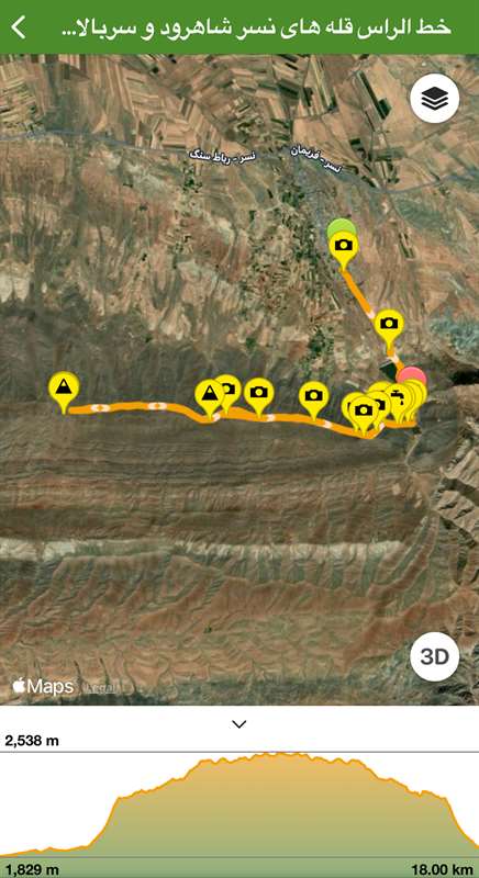
نیمرخ ارتفاع
کمترین ۱٬۸۲۹ متر بیشترین ۲٬۵۳۵ متر مجموع فرود ۹۱۹ متر
گزارش برنامه
تاریخ اجرا 1403.03.18
برای دسترسی بهتر ترک از انتهای روستا تا قله ثبت شد
مسافت رفت و برگشت قله حدود ۱۲ کیلومتر هست
تایم صعود و برگشت با گام ما ۷ ساعت شد که البته چون تایم اضافه داشتیم رو قله بیشتر ماندیم و در کنار چشمه اول درختان استراحت طولانی داشتیم
شیب مسیر از پای کار آغاز و در میانه شیب تند میشد تا قسمتی که سوار بر روی خط الراس میشیم
در مسیر رأس بده بستون و شیب ملایم تری داریم
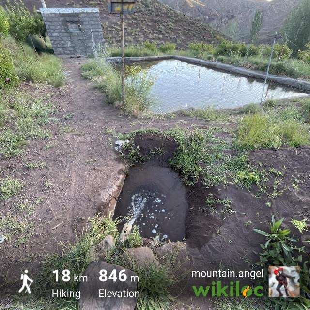
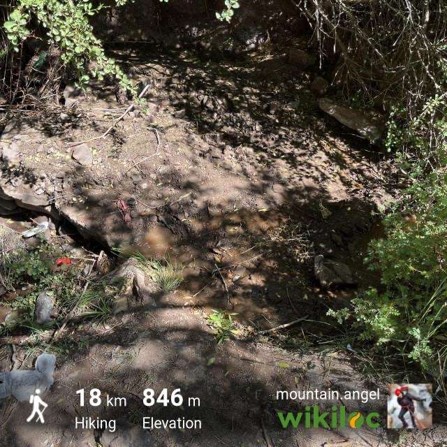
چشمه قابل استفاده فقط در اوایل مسیر دیده شده
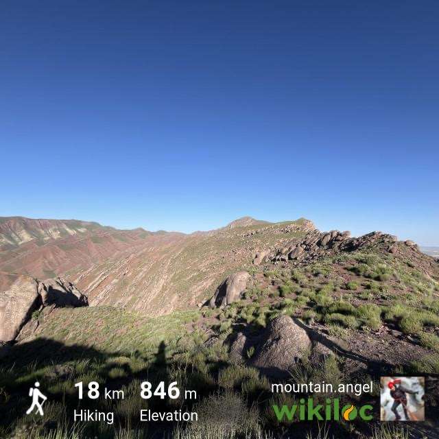
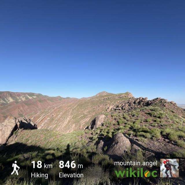
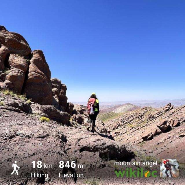
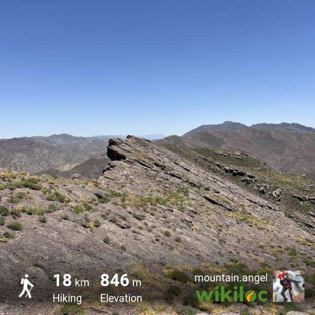
این خط الراس بخش اعظمش از تیغه تشکیل شده که مسیر رو با تراورس میشه عبور کرد
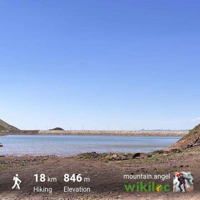
نقطه شروع شیب از بالادست سد نسر و قندآب هست
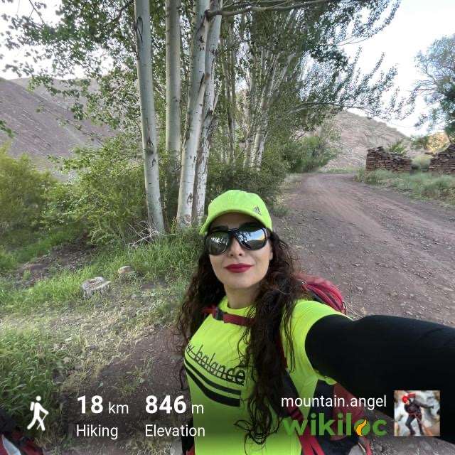
میبایست از انتهای شهر که خاکی شروع میشود حدود ۲ کیلومتر ادامه داد.پس از عبور از کنار سد،جاده خاکی ابتدا از عرض مسیل بالادست سد عبور میکند تا به چند درخت در آنسوی مسیل میرسد( در نقشه مشخص کرده ام)
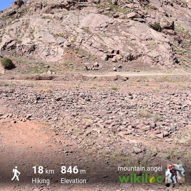
در ابتدای مسیر که یال پرشیبی وجود دارد،احتمال رها شدن سنگ توسط همنوردان(مخصوصا در فرود)بسیار بالاست.
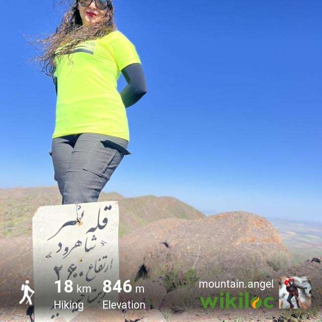
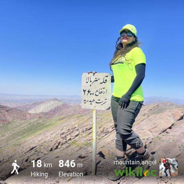
احتمالا اعداد روی هر دو تابلو با خطای زیاد درج شده اند.
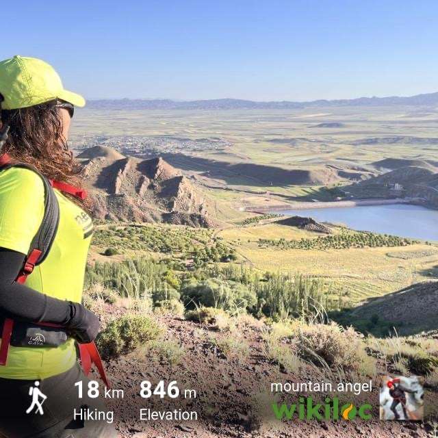
علت نامگذاری قله سربالا وجود روستایی به همین نام در شمال این قله و در کنار جاده نسر به رباط سنگ است.از روی خط الراس جلگه پهناور رُخ
مملو از زمینهای حاصلخیز در سمت شمال دیده میشود که زیبایی خاصی به صعود میبخشد.
نسر شهری است از توابع بخش جلگهرخ شهرستان تربت حیدریه به مرکزیت رباط سنگ و در اسفند ۱۳۹۹ از روستا به شهر ارتقاء یافت.
برای رفتن از مشهد به نسر،هم میتوان مسیر جاده تربت حیدریه را تا رباط سفید ادامه داد و از انجا به اسدآباد و سپس به نسر رفت و
هم میتوان ابتدا به فریمان و سپس به نسر رفت.
فواصل در هر دو مسیر از خروجی مشهد تقریباً مساویست.لیکن حد فاصل رباط سفید تا اسدآباد،جاده آسفالت فرسوده و پر چاله است.جاده فریمان به نسر هم در برخی از قسمتها کمی فرسوده هست لیکن به مراتب بهتر است که از فریمان به نسر بروید
For better access, the route from the end of the village to the peak was recorded
The round trip distance to the peak is about 12 km
The round trip time at our speed was 7 hours, but since we had extra time, we stayed longer on the peak and had a long rest next to the first trees.
The slope of the path starts from the foot of the work and in the middle of the steep slope to the part where we ride on the ridge.
We have a gentler slope on the way up and down
Water can be used only at the beginning of the route
Most of this ridge consists of a blade that can be crossed with a traverse
The starting point of the slope is upstream of Nasr Dam and Qandab
From the end of the city, where the dirt road starts, you should continue for about 2 kilometers. After passing the dam, first the dirt road passes across the road upstream of the dam until it reaches the trees on the other side of the road (I have marked it on the map).
At the beginning of the trail, where there is a steep ridge, there is a high chance of rocks being thrown by fellow travelers (especially on the way down).
Probably, the numbers of both boards were entered with a big error.
The reason for naming Sarbala peak is the presence of a village with the same name in the north of this peak and next to Nasar road to Rabat Seng.
On the north side, it is full of fertile lands, which gives a special beauty to the climb.
Nasar is a city in Jalgarkh district of Torbat Heydarieh city, centered on Rabat Sang, which was transformed from a village to a city in March 2017.
To go from Mashhad to Nasar, you can continue Torbat Heydarieh road to Rabat Sefid and from there go to Asadabad and then Nasar.
You can also go to Freeman and then Nasar.
The distance on both routes from Mashhad exit is almost equal. But the asphalted road of Rabat Sefid and Asadabad is worn out and full of potholes. The road from Freeman to Nasar is a bit worn out in some parts, but it is much better than Freeman to Nasar.
تصاویر ۱۵
نظرها ۰
هنوز نظری برای این مسیر ثبت نشده است.